Charting Labyrinths: How Community Diagrams Unveiled Concealed Chambers Across Early Microcomputer Adventures
Early microcomputer adventures relied on text parsers and limited memory yet contained sprawling environments that players navigated through careful exploration and note-taking. Community members created diagrams to track room connections and these maps often exposed chambers that game developers had embedded without explicit clues. Such diagrams circulated through user groups, bulletin board systems, and print newsletters during the late 1970s and 1980s, turning solitary play sessions into collective knowledge bases that documented every accessible space.
Origins of Shared Mapping Practices
Games such as Colossal Cave Adventure and its microcomputer ports presented cave networks with dozens of locations whose relationships were not always linear. Players recorded exits on paper, then compared notes at computer club meetings or through mailed photocopies. One documented case involved a group in California that compiled a grid-based chart for a 1981 title and discovered a sealed room accessible only after a precise sequence of object uses. The chart spread to other enthusiasts who verified the finding and added annotations for alternate routes.
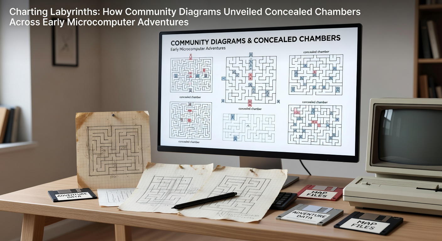
These early diagrams used simple symbols for doors, ladders, and one-way passages because graphical tools were scarce. Participants refined their notation systems over repeated playthroughs, creating legends that indicated locked areas, darkness zones, and teleport triggers. The process mirrored cartographic techniques used in tabletop role-playing games yet adapted them to the constraints of cassette-based storage and 16K or 32K RAM limits.
Technical Constraints and Discovery Methods
Microcomputer adventures stored location data in arrays that community analysts sometimes reverse-engineered by examining memory dumps or save files. When a diagram revealed an unreachable coordinate, players tested input combinations until new exits appeared. In several instances, these tests uncovered chambers containing extra items or alternative endings that the original publisher had never advertised. The diagrams therefore functioned as both navigational aids and investigative tools that expanded the documented scope of each title.
Data from preserved user group newsletters shows that map-sharing accelerated after 1983 as more titles incorporated multi-disk or multi-tape structures. Contributors cross-referenced their findings with printed walkthroughs that appeared in magazines, correcting errors and filling gaps where official guides omitted optional spaces. One collaborative project organized through a Midwest user group produced a master index covering twelve separate adventure titles and listed over two hundred previously undocumented rooms across the set.
Distribution Networks and Verification
Physical copies of diagrams traveled via postal mail while digital versions moved across early networks such as CompuServe forums. Recipients tested the maps against their own copies of the software and reported discrepancies back to the original creators. This feedback loop refined accuracy and sometimes prompted further exploration that exposed additional concealed areas. Observers note that verification often occurred during multi-player gatherings where one person read directions while others operated the machine, turning map validation into a social activity.

By the mid-1980s, certain diagrams had become standardized references within specific regional scenes. A European collective produced isometric-style sketches for a popular title that highlighted vertical shafts missed in flat top-down maps. Their work influenced later North American versions when the two groups exchanged materials at a 1986 convention. Such exchanges demonstrate how community diagrams traveled across borders and incorporated local discoveries into shared resources.
Preservation Efforts and Contemporary Access
Archives and research institutions have since digitized many of these original diagrams, making them available for study. As of May 2026, several university projects continue scanning remaining paper collections while cross-referencing them against emulated game environments. The resulting databases allow researchers to trace how particular concealed chambers were first identified and which mapping techniques proved most effective at surfacing them.
According to records maintained by the Library of Congress digital collections, community maps frequently predate commercial hint books by months or years. This temporal gap underscores the independent nature of the discovery process and the role diagrams played in establishing complete spatial records for titles that otherwise lacked official documentation.
Conclusion
Community diagrams transformed fragmented individual explorations into coherent spatial records that revealed concealed chambers across early microcomputer adventures. The methods developed during that era laid groundwork for later collaborative documentation projects in game preservation. Ongoing digitization initiatives ensure these maps remain accessible while researchers continue to examine how collective charting practices shaped understanding of the medium's earliest interactive spaces.